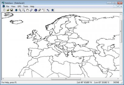
DataSave allows you to transfer waypoints & routes to a Magellan GPS 315 or GPS 320 receiver and transfer waypoints, routes & track history from them. Latitude & longitude can be shown in either a Degrees, Degrees-Minutes, or Degrees-Minutes-Seconds format, all in the WGS84 datum, and distances in either metres/kilometres, feet/miles or knots/nautical miles. Also user-selectable is the display of "Large" and "Major" cities on the map (I don't know how many, other than the map gets quite cluttered & there's more than I need). This is all done on a black-outline-on-white-background map which roughly outlines coasts & political boundaries across the world. The screenshot at right is from the bottom right corner of the display and shows the southeast part of England, the COM port we're using, the latitude & longitude of the cursor - in this case, it's the little ruler near the upper left corner - major cities London, Birmingham, Manchester & Sheffield are indicated by the green boxes, large cities in red. We're using the Ruler tool at the moment and as you can see, the dialog box for it is very simple.
Comments